Credits: University of Valencia, INTA and Jet Propulsion Laboratory (ASTER)
As Art
Credits: University of Valencia, I
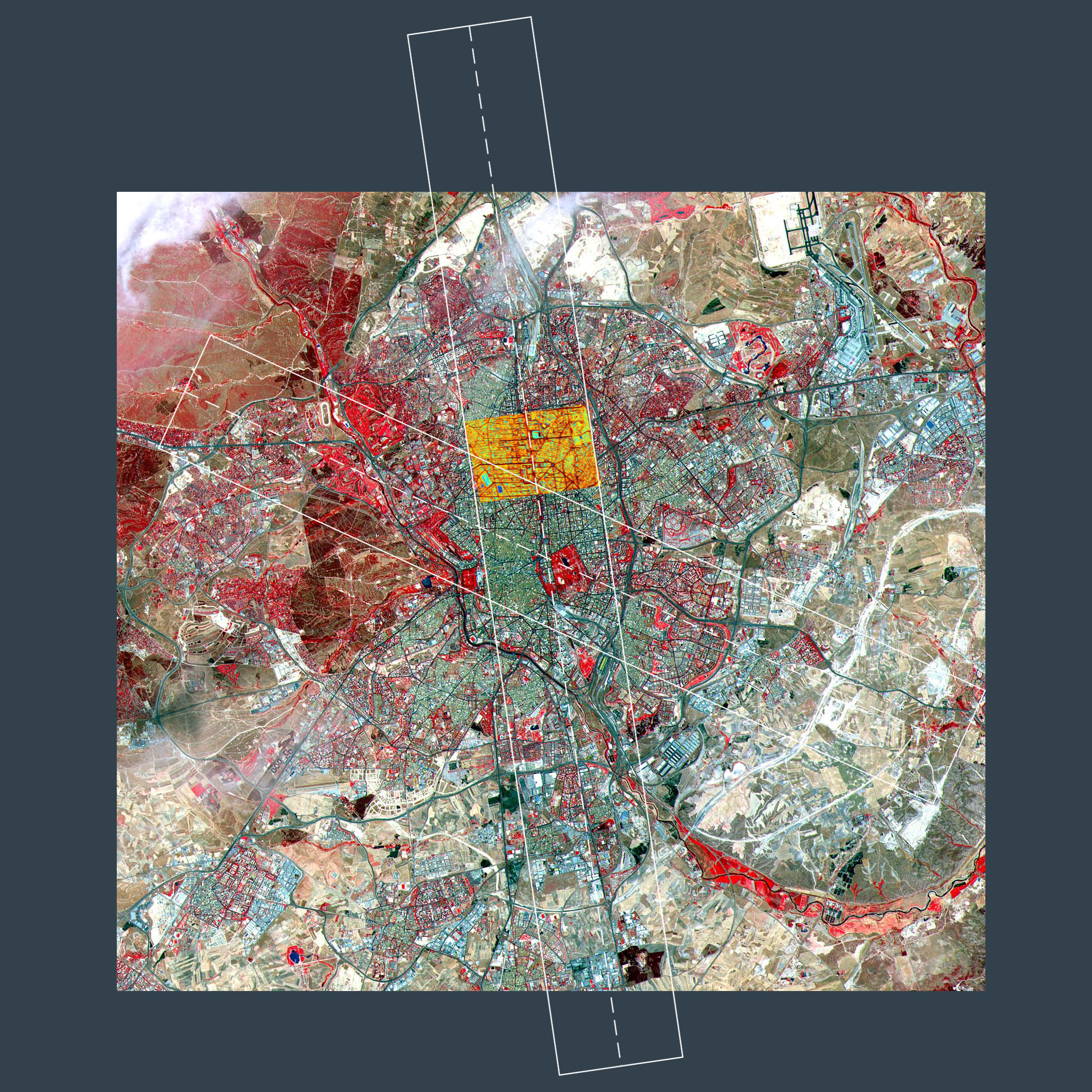
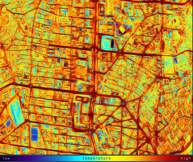
These satellite images are from Madrid, Spain. The close-up taken at midnight shows clearly the differences in temperature (blue is cooler and red i warmer).
Most of us has experienced the extreme heat that can build up in cities and urban areas. Just think about those huge parking lots around shopping malls...They can kill you, simply kill you. I have escaped from the streets of Granada, Spain desperately into a air conditioned shopping mall, and I hate shopping, because of unbearable heat. We read about people killing each other due to extreme and long lasting heat in big cities. Using earth observation tools like satellite images like these to find out which areas are less warm is well spent money, if you ask me. :-)
And do CLICK ON THE IMAGES!


No comments:
Post a Comment